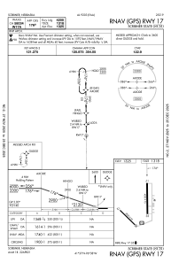


KSCB - Scribner State
Located in Scribner, United States
ICAO - SCB, IATA -
Data provided by AirmateGeneral information
Coordinates: N41°36'37" W96°37'47"
Elevation is 1324 feet MSL.
Magnetic variation is 03° East View others Airports in Nebraska
Operational data
Special qualification required
Current time UTC:
Current local time:
Weather at : KFET - Fremont Muni ( 20 km )
METAR: KFET 261415Z AUTO 13013G22KT 3SM BR OVC003 13/12 A2949 RMK AO2 LTG DSNT E T01310117
Communications frequencies: [VIEW]
Runways:
| RWY identifier | QFU | Length (ft) | Width (ft) | Surface | LDA (ft) |
| 12 | 134° | 3199 | 60 | CONC | |
| 30 | 314° | 3199 | 60 | CONC | |
| 17 | 179° | 4200 | 75 | CONC | |
| 35 | 359° | 4200 | 75 | CONC |
Airport contact information
Address: Scribner United States