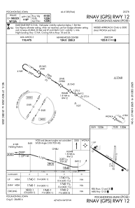


KPOH - Pocahontas Muni
Located in Pocahontas, United States
ICAO - POH, IATA -
Data provided by AirmateGeneral information
Coordinates: N42°44'34" W94°38'50"
Elevation is 1225 feet MSL.
Magnetic variation is 02° East View others Airports in Iowa
Operational data
Special qualification required
Current time UTC:
Current local time:
Weather at : KFOD - Fort Dodge Rgnl ( 43 km )
METAR: KFOD 191856Z AUTO 11008KT 10SM FEW120 22/07 A2994 RMK AO2 RAE01 SLP149 P0000 T02220067
TAF: KFOD 191730Z 1918/2018 20007KT P6SM OVC120 FM192200 13011KT P6SM OVC140 FM200400 16009KT P6SM VCTS SCT040CB BKN070 FM201200 21008KT P6SM BKN030
Communications frequencies: [VIEW]
Runways:
| RWY identifier | QFU | Length (ft) | Width (ft) | Surface | LDA (ft) |
| 12 | 121° | 4100 | 60 | ASPH | |
| 30 | 301° | 4100 | 60 | ASPH | |
| 18 | 184° | 1999 | 135 | GRASS | |
| 36 | 4° | 1999 | 135 | GRASS |
Airport contact information
Address: Pocahontas United States