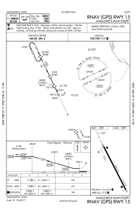


KOQW - Maquoketa Muni
Located in Maquoketa, United States
ICAO - OQW, IATA -
Data provided by AirmateGeneral information
Coordinates: N42°3'0" W90°44'20"
Elevation is 769 feet MSL.
Magnetic variation is 00° East View others Airports in Iowa
Operational data
Special qualification required
Current time UTC:
Current local time:
Weather at : KDBQ - Dubuque Rgnl ( 39 km )
METAR: KDBQ 230653Z AUTO 22014KT 10SM FEW120 12/03 A2972 RMK AO2 SLP063 T01220028
TAF: KDBQ 230530Z 2306/2406 22015G25KT P6SM BKN080 WS020/24050KT FM231100 24009KT P6SM SCT200 FM231800 27016G24KT P6SM BKN200 FM232100 31020G30KT P6SM SCT120 FM240300 34014KT P6SM BKN100
Communications frequencies: [VIEW]
Runways:
| RWY identifier | QFU | Length (ft) | Width (ft) | Surface | LDA (ft) |
| 15 | 155° | 3304 | 60 | CONC | |
| 33 | 335° | 3304 | 60 | CONC |
Airport contact information
Address: Maquoketa United States