


KLLQ - Monticello Muni/Ellis Fld
Located in Monticello, United States
ICAO - LLQ, IATA -
Data provided by AirmateGeneral information
Coordinates: N33°38'19" W91°45'4"
Elevation is 267 feet MSL.
Magnetic variation is 01° East View others Airports in Arkansas
Operational data
Special qualification required
Current time UTC:
Current local time:
Weather
METAR: KLLQ 161453Z AUTO 21009G20KT 10SM SCT019 24/19 A2995 RMK AO2 SLP141 T02440189 53008
TAF: KLLQ 161120Z 1612/1712 18010G20KT P6SM BKN025 OVC050 FM161800 19012G22KT P6SM VCSH BKN025 OVC050 PROB30 1620/1702 5SM -TSRA BR BKN025 OVC040CB FM170600 20010G20KT P6SM SCT015 BKN025 OVC050
Communications frequencies: [VIEW]
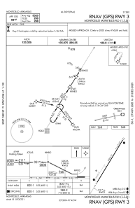
Runways:
| RWY identifier | QFU | Length (ft) | Width (ft) | Surface | LDA (ft) |
| 03 | 32° | 5020 | 75 | ASPH | |
| 21 | 212° | 5020 | 75 | ASPH |
Airport contact information
Address: Monticello United States