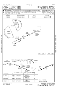


KJFZ - Tazewell County
Located in Richlands, United States
ICAO - JFZ, IATA -
Data provided by AirmateGeneral information
Coordinates: N37°3'49" W81°47'54"
Elevation is 2653 feet MSL.
Magnetic variation is -06° East View others Airports in Virginia
Operational data
Special qualification required
Current time UTC:
Current local time:
Weather
METAR: KJFZ 182115Z AUTO 33003KT 10SM CLR 26/06 A3008 RMK AO2 T02580058
Communications frequencies: [VIEW]
Runways:
| RWY identifier | QFU | Length (ft) | Width (ft) | Surface | LDA (ft) |
| 07 | 66° | 4299 | 75 | ASPH | |
| 25 | 246° | 4299 | 75 | ASPH |
Airport contact information
Address: Richlands United States