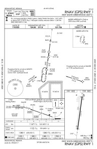


KHFY - Indy South Greenwood
Located in Indianapolis, United States
ICAO - HFY, IATA -
Data provided by AirmateGeneral information
Coordinates: N39°37'39" W86°5'17"
Elevation is 822 feet MSL.
Magnetic variation is -02° East View others Airports in Indiana
Operational data
Special qualification required
Current time UTC:
Current local time:
Weather at : KIND - Indianapolis Intl ( 20 km )
METAR: KIND 161354Z 13011KT 10SM FEW160 SCT250 20/11 A2999 RMK AO2 SLP150 T02000106
TAF: KIND 161120Z 1612/1718 09008KT P6SM FEW070 SCT180 BKN250 FM161500 14011KT P6SM SCT050 SCT120 BKN250 FM161900 16014G25KT P6SM SCT040 BKN080 BKN250 FM170000 18015G22KT 6SM -SHRA VCTS BKN040CB FM171000 20015G25KT P6SM VCSH BKN060
Communications frequencies: [VIEW]
Runways:
| RWY identifier | QFU | Length (ft) | Width (ft) | Surface | LDA (ft) |
| 01 | 8° | 5102 | 75 | ASPH | |
| 19 | 188° | 5102 | 75 | ASPH |
Airport contact information
Address: Indianapolis United States
