


KGUS - Grissom Arb
Located in Peru, United States
ICAO - GUS, IATA - GUS
Data provided by AirmateGeneral information
Coordinates: N40°38'53" W86°9'8"
Elevation is 810 feet MSL.
Magnetic variation is -02° East View others Airports in Indiana
Operational data
Special qualification required
Current time UTC:
Current local time:
Weather
METAR: KGUS 070655Z AUTO 11005KT 10SM FEW046 13/06 A2980 RMK AO2 SLP092 T01340055 $
TAF: TAF KGUS 062100Z 0621/0803 09010KT 9999 SCT040 SCT250 QNH2982INS BECMG 0702/0703 09006KT 9999 BKN016 OVC024 QNH2977INS BECMG 0707/0708 10006KT 8000 BR BKN008 OVC016 WS020/21040KT QNH2967INS BECMG 0713/0714 16012G18KT 8000 -RA OVC007 QNH2960INS TEMPO 0714/0717 VRB25G35KT 3200 -TSRAGR OVC015CB BECMG 0717/0718 20015G25KT 9000 -RA BKN021 OVC029 510005 QNH2953INS TEMPO 0719/0724 VRB25G40KT 3200 -TSRAGR BKN015CB OVC029 BECMG 0723/0724 26012KT 9999 VCSH FEW013 SCT029 QNH2957INS TX24/0720Z TN13/0711Z LAST NO AMDS AFT 0703 NEXT 0713
Communications frequencies: [VIEW]
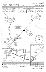
Runways:
| RWY identifier | QFU | Length (ft) | Width (ft) | Surface | LDA (ft) |
| 05 | 44° | 12501 | 200 | ASPH | |
| 23 | 224° | 12501 | 200 | ASPH |
Airport contact information
Address: Peru United States