


KDAF - Necedah
Located in Necedah, United States
ICAO - DAF, IATA -
Data provided by AirmateGeneral information
Coordinates: N44°2'0" W90°5'6"
Elevation is 919 feet MSL.
Magnetic variation is -01° East View others Airports in Wisconsin
Operational data
Special qualification required
Current time UTC:
Current local time:
Weather at : KVOK - Volk Fld ( 17 km )
METAR: KVOK 191355Z 26013KT 10SM FEW044 05/M06 A3006 RMK AO2A SLP190 T00481059
TAF: TAF KVOK 190900Z 1909/2015 28012KT 9999 FEW040 QNH3001INS BECMG 1914/1915 30025G35KT 9999 SKC 510003 QNH3002INS BECMG 1922/1923 29012G18KT 9999 BKN045 OVC060 620454 QNH3004INS BECMG 2009/2010 27009KT 9999 BKN015 OVC025 620158 QNH3010INS BECMG 2012/2013 31012G18KT 9999 SCT025 OVC035 620354 QNH3018INS TX07/1919Z TNM01/2009Z
Communications frequencies: [VIEW]
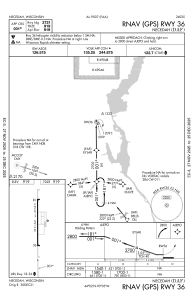
Runways:
| RWY identifier | QFU | Length (ft) | Width (ft) | Surface | LDA (ft) |
| 18 | 179° | 2721 | 60 | ASPH | |
| 36 | 359° | 2721 | 60 | ASPH |
Airport contact information
Address: Necedah United States