


KCKP - Cherokee County Rgnl
Located in Cherokee, United States
ICAO - CKP, IATA -
Data provided by AirmateGeneral information
Coordinates: N42°43'53" W95°33'22"
Elevation is 1226 feet MSL.
Magnetic variation is 05° East View others Airports in Iowa
Operational data
Special qualification required
Current time UTC:
Current local time:
Communications frequencies: [VIEW]
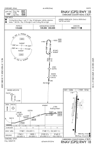
Runways:
| RWY identifier | QFU | Length (ft) | Width (ft) | Surface | LDA (ft) |
| 01 | 11° | 2621 | 100 | GRASS | |
| 19 | 191° | 2621 | 100 | GRASS | |
| 18 | 183° | 4001 | 75 | CONC | |
| 36 | 3° | 4001 | 75 | CONC |
Airport contact information
Address: Cherokee United States
