


KAAT - Alturas Muni
Located in Alturas, United States
ICAO - AAT, IATA -
Data provided by AirmateGeneral information
Coordinates: N41°28'58" W120°33'56"
Elevation is 4378 feet MSL.
Magnetic variation is 16° East View others Airports in California
Operational data
Special qualification required
Current time UTC:
Current local time:
Weather
METAR: KAAT 261216Z AUTO 18005KT 10SM -RA BKN013 BKN018 OVC024 04/03 A2990 RMK AO2 P0000 T00390028 $
Communications frequencies: [VIEW]
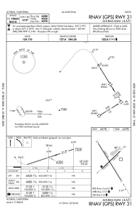
Runways:
| RWY identifier | QFU | Length (ft) | Width (ft) | Surface | LDA (ft) |
| 03 | 46° | 2506 | 60 | ASPH | |
| 21 | 226° | 2506 | 60 | ASPH | |
| 13 | 148° | 4228 | 50 | ASPH | |
| 31 | 328° | 4228 | 50 | ASPH |
Airport contact information
Address: Alturas United States