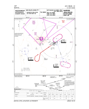


HKJK - Nairobi Jomo Kenyatta Intl
Located in Nairobi, Kenya
ICAO - HKJK, IATA - NBO
Data provided by AirmateGeneral information
Coordinates: S1°19'9" E36°55'40"
Elevation is 5330 feet MSL.
Magnetic variation is 1° East View others Airports in Nairobi Province
Operational data
Special qualification required
Current time UTC:
Current local time:
Weather
METAR: HKJK 270400Z 06003KT 8000 OVC012 15/15 Q1024
TAF: TAF HKJK 262300Z 2700/2806 24005KT 9999 -RA SCT008 BKN014 OVC070 BECMG 2708/2711 12010KT NSW BKN020 BECMG 2800/2803 24005KT -RA SCT008 BKN014 BKN070
Communications frequencies: [VIEW]
Runways:
| RWY identifier | QFU | Length (ft) | Width (ft) | Surface | LDA (ft) |
| 06 | 54° | 13510 | 143 | ASPH | 13507 |
| 24 | 234° | 13510 | 143 | ASPH | 13507 |
Airport contact information
Address: Nairobi Kenya