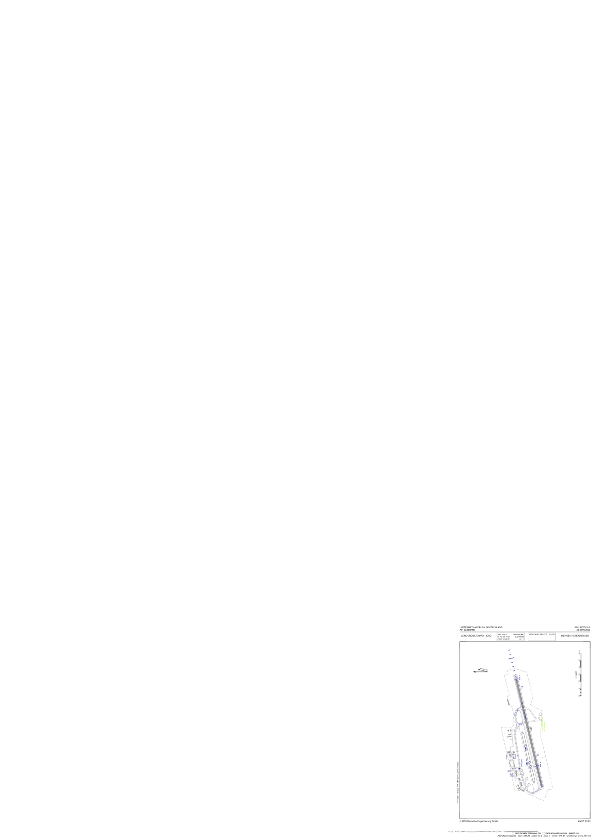


EDTM - Mengen-Hohentengen
Located in Mengen, Germany
ICAO - EDTM, IATA -
Data provided by AirmateGeneral information
Coordinates: N48°3'14" E9°22'22"
Elevation is 1821 feet MSL.
Magnetic variation is 2.5000° East View others Airports in Baden-Württemberg
Operational data
Special qualification required
Current time UTC:
Current local time:
Weather at : EDNY - Friedrichshafen ( 44 km )
TAF: TAF EDNY 012300Z 0200/0224 VRB01KT CAVOK BECMG 0206/0208 25007KT BECMG 0212/0214 25013KT TEMPO 0212/0216 25015G25KT TSRA BKN020CB TEMPO 0220/0224 RA
Communications frequencies: [VIEW]
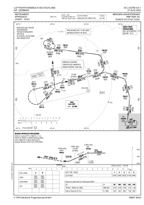
Runways:
| RWY identifier | QFU | Length (ft) | Width (ft) | Surface | LDA (ft) |
| 07 | 77° | 5138 | 98 | ASPH | 4154 |
| 25 | 257° | 5138 | 98 | ASPH | 5138 |
| 07G | 77° | 2297 | 98 | GRASS | |
| 25G | 257° | 2297 | 98 | GRASS |
Airport contact information
Address: Mengen Germany

