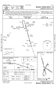


E11 - Andrews County
Located in Andrews, United States
ICAO - E11, IATA -
Data provided by AirmateGeneral information
Coordinates: N32°19'51" W102°31'47"
Elevation is 3174 feet MSL.
Magnetic variation is 09° East View others Airports in Texas
Operational data
Special qualification required
Current time UTC:
Current local time:
Communications frequencies: [VIEW]
Runways:
| RWY identifier | QFU | Length (ft) | Width (ft) | Surface | LDA (ft) |
| 02 | 26° | 3893 | 75 | ASPH | |
| 20 | 206° | 3893 | 75 | ASPH | |
| 11 | 123° | 3048 | 75 | ASPH | |
| 29 | 303° | 3048 | 75 | ASPH | |
| 16 | 164° | 5816 | 75 | ASPH | |
| 34 | 344° | 5816 | 75 | ASPH |
Airport contact information
Address: Andrews United States