


CYCO - Kugluktuk
Located in , Canada
ICAO - CYCO, IATA - YCO
Data provided by AirmateGeneral information
Coordinates: N67°49'0" W115°8'38"
Elevation is 74 feet MSL.
Magnetic variation is 15.9705° East View others Airports in Nunavut
Operational data
Special qualification required
Current time UTC:
Current local time:
Weather
METAR: CYCO 260800Z 23013KT 15SM FEW004 BKN018 M23/M25 A3021 RMK SF1SC5 SF TR SLP235
TAF: TAF CYCO 260640Z 2607/2619 26010KT P6SM FEW012 TEMPO 2607/2619 BKN012 BECMG 2614/2616 26015KT RMK NXT FCST BY 261300Z
Communications frequencies: [VIEW]
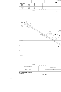
Runways:
| RWY identifier | QFU | Length (ft) | Width (ft) | Surface | LDA (ft) |
| 12 | 121° | 5502 | 100 | GRAVE | 5502 |
| 30 | 301° | 5502 | 100 | GRAVE | 5502 |
Airport contact information
Address: Canada