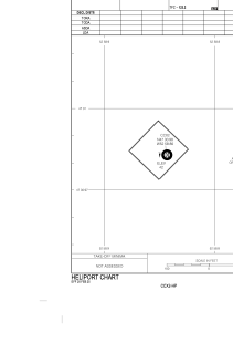


CCX2 - Long Pond
Located in , Canada
ICAO - CCX2, IATA -
Data provided by AirmateGeneral information
Coordinates: N47°30'59" W52°58'52"
Elevation is 42 feet MSL.
Magnetic variation is -18.9428° East View others Airports in Newfoundland and Labrador
Operational data
Special qualification required
Current time UTC:
Current local time:
Weather at : CYYT - St. John's Intl ( 21 km )
METAR: CYYT 200600Z 05012KT 15SM FEW005 M03/M03 A3014 RMK SF1 WIND EST SLP215
TAF: TAF CYYT 200540Z 2006/2106 05012KT P6SM FEW006 TEMPO 2006/2011 BKN006 FM201100 06006KT P6SM SCT010 BECMG 2015/2017 15012KT FM201800 19015KT P6SM FEW015 BECMG 2022/2024 19008KT FM210002 18008KT P6SM SCT006 PROB30 2100/2106 BKN006 RMK NXT FCST BY 201200Z
Communications frequencies: [VIEW]
Runways:
Airport contact information
Address: Canada