


8G2 - Corry-Lawrence
Located in Corry, United States
ICAO - 8G2, IATA -
Data provided by AirmateGeneral information
Coordinates: N41°54'27" W79°38'28"
Elevation is 1766 feet MSL.
Magnetic variation is -10° East View others Airports in Pennsylvania
Operational data
Special qualification required
Current time UTC:
Current local time:
Weather at : KJHW - Chautauqua County/Jamestown ( 42 km )
METAR: KJHW 182211Z AUTO 28006KT 10SM SCT025 11/07 A3008 RMK AO2
TAF: KJHW 181727Z 1818/1918 27010G18KT P6SM OVC015 FM182200 28008KT P6SM BKN025 FM190000 22004KT P6SM SCT035 BKN250 FM190800 15008KT P6SM BKN150 FM191200 17012G18KT P6SM VCSH OVC060 FM191500 19015G25KT 4SM SHRA BR OVC015 FM191700 23014G23KT 6SM -SHRA BR OVC007
Communications frequencies: [VIEW]
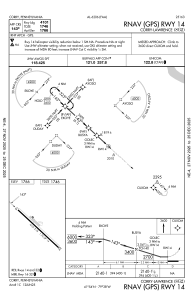
Runways:
| RWY identifier | QFU | Length (ft) | Width (ft) | Surface | LDA (ft) |
| 14 | 133° | 4101 | 75 | ASPH | |
| 32 | 313° | 4101 | 75 | ASPH |
Airport contact information
Address: Corry United States