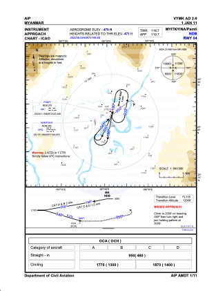


VYMK - Myitkyina
Located in Myitkyina, Myanmar
ICAO - VYMK, IATA - MYT
Data provided by AirmateGeneral information
Coordinates: N25°22'58" E97°21'10"
Elevation is 484 feet MSL.
View others Airports in Kachin State
Operational data
Special qualification required
Current time UTC:
Current local time:
Weather at : - ( 0 km )
METAR: YPKU 200007Z AUTO 11015G26KT 9999 // NCD 27/07 Q1015 RF00.0/000.0
Communications frequencies: [VIEW]
Runways:
| RWY identifier | QFU | Length (ft) | Width (ft) | Surface | LDA (ft) |
| 04 | 37° | 6998 | 151 | BIT | |
| 22 | 217° | 6998 | 151 | BIT |
Airport contact information
Address: Myitkyina Myanmar