


VEGY - Gaya Airport
Located in Gaya, India
ICAO - VEGY, IATA - GAY
Data provided by AirmateGeneral information
Coordinates: N24°44'53" E84°56'33"
Elevation is 380 feet MSL.
View others Airports in Bihar
Operational data
Special qualification required
Current time UTC:
Current local time:
Weather
METAR: VEGY 191600Z 25007KT 4000 HZ NSC 34/09 Q1002
TAF: TAF VEGY 191400Z 1915/1924 25006KT 5000 HZ NSC BECMG 1917/1919 20004KT 3000 HZ
Communications frequencies: [VIEW]
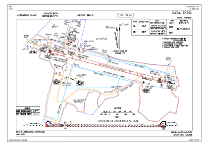
Runways:
| RWY identifier | QFU | Length (ft) | Width (ft) | Surface | LDA (ft) |
| 10 | 104° | 7503 | 148 | ASP | |
| 28 | 284° | 7503 | 148 | ASP |
Airport contact information
Address: Gaya India