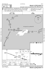


PGRO - Benjamin Taisacan Manglona Intl
Located in Rota Island, Northern Mariana Islands
ICAO - GRO, IATA - ROP
Data provided by AirmateGeneral information
Coordinates: N14°10'28" E145°14'28"
Elevation is 606 feet MSL.
Magnetic variation is 02° East View others Airports in (unassigned)
Operational data
Special qualification required
Current time UTC:
Current local time:
Weather
METAR: PGRO 242150Z 07011KT 7SM BKN013 BKN080 27/22 A2991
TAF: PGRO 242033Z 2421/2518 08014G20KT P6SM SCT013
Communications frequencies: [VIEW]
Runways:
| RWY identifier | QFU | Length (ft) | Width (ft) | Surface | LDA (ft) |
| 09 | 92° | 7000 | 150 | ASPH | 7000 |
| 27 | 272° | 7000 | 150 | ASPH | 7000 |
Airport contact information
Address: Rota Island Northern Mariana Islands