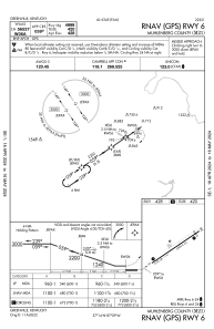


M21 - Muhlenberg County
Located in Greenville, United States
ICAO - M21, IATA -
Data provided by AirmateGeneral information
Coordinates: N37°13'34" W87°9'23"
Elevation is 428 feet MSL.
Magnetic variation is -03° East View others Airports in Kentucky
Operational data
Special qualification required
Current time UTC:
Current local time:
Communications frequencies: [VIEW]
Runways:
| RWY identifier | QFU | Length (ft) | Width (ft) | Surface | LDA (ft) |
| 06 | 56° | 4999 | 75 | ASPH | |
| 24 | 236° | 4999 | 75 | ASPH | 4600 |
Airport contact information
Address: Greenville United States