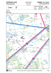


LFAI - Nangis Les Loges
Located in Nangis, France
ICAO - LFAI, IATA -
Data provided by AirmateGeneral information
Coordinates: N48°35'49" E3°0'29"
Elevation is 428 feet MSL.
Magnetic variation is 1.23° East View others Airports in Île-de-France
Operational data
Special qualification required
Current time UTC:
Current local time:
Weather at : LFPM - Melun Villaroche ( 25 km )
METAR: LFPM 251930Z AUTO 19004KT CAVOK 09/04 Q1004
Communications frequencies: [VIEW]
Runways:
| RWY identifier | QFU | Length (ft) | Width (ft) | Surface | LDA (ft) |
| 05 | 53° | 3133 | 66 | ASPH | 3133 |
| 23 | 233° | 3133 | 66 | ASPH | 3133 |
| 05L | 53° | 3379 | 197 | GRASS | 3379 |
| 23R | 233° | 3379 | 197 | GRASS | 3379 |
Airport contact information
Address: Nangis France
Fuel provider

Other aviation service providers
Aviation club (not for profit)

Aéroclub Marcel Dassault de Melun Villaroche
Aéroclub Marcel Dassault de Melun Villaroche
ACMDMV.dassault.nangis@gmail.com+33164083034