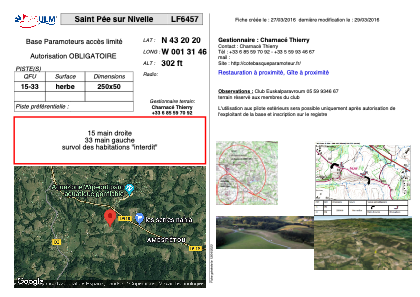


LF6457 - Saint Pée sur Nivelle
Located in Saint-Pée-sur-Nivelle, France
ICAO - , IATA -
Data provided by AirmateGeneral information
Coordinates: N43°20'20" W1°31'46"
Elevation is 302 feet MSL.
View others Airports in Aquitaine
Operational data
Special qualification required
Current time UTC:
Current local time:
Weather at : LFBZ - Biarritz Pays Basque ( 14 km )
METAR: LFBZ 182100Z AUTO 02003KT CAVOK 11/07 Q1025 NOSIG
TAF: TAF LFBZ 181700Z 1818/1918 33010KT 9999 SCT030 BECMG 1819/1821 VRB03KT CAVOK TEMPO 1902/1906 3000 BR PROB30 TEMPO 1904/1906 0800 FG VV/// BECMG 1906/1908 09010KT
Communications frequencies: [VIEW]
Runways:
| RWY identifier | QFU | Length (ft) | Width (ft) | Surface | LDA (ft) |
| 15 | 0° | 820 | 164 | GRASS | |
| 33 | 0° | 820 | 164 | GRASS |
Airport contact information
Address: Saint-Pée-sur-Nivelle France