


KUTA - Tunica Muni
Located in Tunica, United States
ICAO - UTA, IATA -
Data provided by AirmateGeneral information
Coordinates: N34°41'6" W90°20'52"
Elevation is 194 feet MSL.
Magnetic variation is 00° East View others Airports in Mississippi
Operational data
Special qualification required
Current time UTC:
Current local time:
Weather
METAR: KUTA 200055Z AUTO 02008KT 10SM BKN020 OVC031 15/13 A3010 RMK AO2 CIG 018V023 T01530135 $
Communications frequencies: [VIEW]
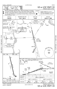
Runways:
| RWY identifier | QFU | Length (ft) | Width (ft) | Surface | LDA (ft) |
| 17 | 167° | 8500 | 150 | ASPH | |
| 35 | 347° | 8500 | 150 | ASPH |
Airport contact information
Address: Tunica United States