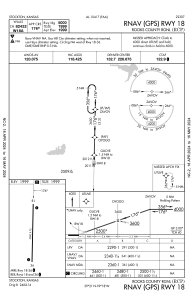


KRCP - Rooks County Rgnl
Located in Stockton, United States
ICAO - RCP, IATA -
Data provided by AirmateGeneral information
Coordinates: N39°20'48" W99°18'17"
Elevation is 1999 feet MSL.
Magnetic variation is 05° East View others Airports in Kansas
Operational data
Special qualification required
Current time UTC:
Current local time:
Communications frequencies: [VIEW]
Runways:
| RWY identifier | QFU | Length (ft) | Width (ft) | Surface | LDA (ft) |
| 18 | 0° | 5000 | 75 | CONC | |
| 36 | 0° | 5000 | 75 | CONC |
Airport contact information
Address: Stockton United States