


KONY - Olney Muni
Located in Olney, United States
ICAO - ONY, IATA -
Data provided by AirmateGeneral information
Coordinates: N33°21'3" W98°49'9"
Elevation is 1275 feet MSL.
Magnetic variation is 05° East View others Airports in Texas
Operational data
Special qualification required
Current time UTC:
Current local time:
Weather at : KRPH - Graham Muni ( 36 km )
METAR: KRPH 160615Z AUTO 16013G19KT 130V190 10SM SCT021 OVC034 23/20 A2969 RMK AO2 T02320200
Communications frequencies: [VIEW]
Runways:
| RWY identifier | QFU | Length (ft) | Width (ft) | Surface | LDA (ft) |
| 04 | 45° | 5100 | 75 | ASPH | |
| 22 | 225° | 5100 | 75 | ASPH | |
| 13 | 135° | 5099 | 75 | ASPH | |
| 31 | 315° | 5099 | 75 | ASPH | |
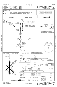
| 17 | 180° | 5101 | 75 | ASPH | |
| 35 | 0° | 5101 | 75 | ASPH |
Airport contact information
Address: Olney United States