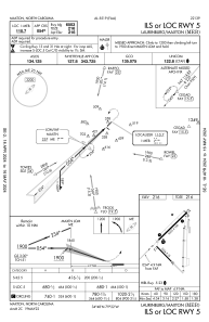


KMEB - Laurinburg/Maxton
Located in Maxton, United States
ICAO - MEB, IATA -
Data provided by AirmateGeneral information
Coordinates: N34°47'32" W79°21'57"
Elevation is 215 feet MSL.
Magnetic variation is -08° East View others Airports in North Carolina
Operational data
Special qualification required
Current time UTC:
Current local time:
Weather
METAR: KMEB 240852Z AUTO 10SM CLR 10/08 A3007 RMK AO2 SLP182 T01000078 56007
Communications frequencies: [VIEW]
Runways:
| RWY identifier | QFU | Length (ft) | Width (ft) | Surface | LDA (ft) |
| 05 | 46° | 6503 | 100 | ASPH | |
| 23 | 226° | 6503 | 100 | ASPH | |
| 13 | 135° | 3536 | 75 | CONC | |
| 31 | 315° | 3536 | 75 | CONC |
Airport contact information
Address: Maxton United States