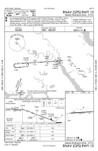


KFYJ - Middle Peninsula Rgnl
Located in West Point, United States
ICAO - FYJ, IATA -
Data provided by AirmateGeneral information
Coordinates: N37°31'17" W76°45'46"
Elevation is 20 feet MSL.
Magnetic variation is -11° East View others Airports in Virginia
Operational data
Special qualification required
Current time UTC:
Current local time:
Weather
METAR: KFYJ 191755Z AUTO 00000KT 10SM OVC014 14/11 A3009 RMK AO1 T01360105 10140 20105
Communications frequencies: [VIEW]
Runways:
| RWY identifier | QFU | Length (ft) | Width (ft) | Surface | LDA (ft) |
| 10 | 86° | 5000 | 75 | ASPH | |
| 28 | 266° | 5000 | 75 | ASPH |
Airport contact information
Address: West Point United States