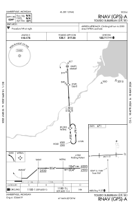


KDUH - Toledo Suburban
Located in Lambertville, United States
ICAO - DUH, IATA -
Data provided by AirmateGeneral information
Coordinates: N41°44'9" W83°39'21"
Elevation is 671 feet MSL.
Magnetic variation is -07° East View others Airports in Michigan
Operational data
Special qualification required
Current time UTC:
Current local time:
Communications frequencies: [VIEW]
Runways:
| RWY identifier | QFU | Length (ft) | Width (ft) | Surface | LDA (ft) |
| 09 | 87° | 4807 | 50 | ASPH | |
| 27 | 267° | 4807 | 50 | ASPH |
Airport contact information
Address: Lambertville United States
