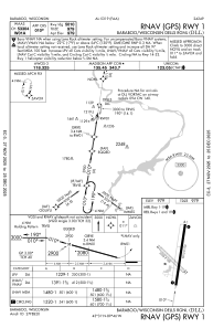


KDLL - Baraboo/Wisconsin Dells Rgnl
Located in Baraboo, United States
ICAO - DLL, IATA -
Data provided by AirmateGeneral information
Coordinates: N43°31'19" W89°46'17"
Elevation is 979 feet MSL.
Magnetic variation is -01° East View others Airports in Wisconsin
Operational data
Special qualification required
Current time UTC:
Current local time:
Weather
METAR: KDLL 190435Z AUTO 30007KT 10SM CLR 06/03 A3005 RMK AO2 T00590027
Communications frequencies: [VIEW]
Runways:
| RWY identifier | QFU | Length (ft) | Width (ft) | Surface | LDA (ft) |
| 01 | 9° | 5010 | 100 | ASPH | |
| 19 | 189° | 5010 | 100 | ASPH | |
| 14 | 134° | 2746 | 100 | GRASS | |
| 32 | 314° | 2746 | 100 | GRASS |
Airport contact information
Address: Baraboo United States
