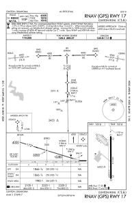


KCLK - Clinton Rgnl
Located in Clinton, United States
ICAO - CLK, IATA - CLK
Data provided by AirmateGeneral information
Coordinates: N35°32'18" W98°55'58"
Elevation is 1615 feet MSL.
Magnetic variation is 07° East View others Airports in Oklahoma
Operational data
Special qualification required
Current time UTC:
Current local time:
Weather
METAR: KCLK 181735Z AUTO 01021G29KT 10SM OVC025 13/06 A3005 RMK AO2
Communications frequencies: [VIEW]
Runways:
| RWY identifier | QFU | Length (ft) | Width (ft) | Surface | LDA (ft) |
| 13 | 137° | 1348 | 245 | GRASS | |
| 31 | 317° | 1348 | 245 | GRASS | |
| 17 | 179° | 4305 | 72 | ASPH | |
| 35 | 359° | 4305 | 72 | ASPH |
Airport contact information
Address: Clinton United States