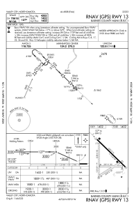


KBAC - Barnes County Muni
Located in Valley City, United States
ICAO - BAC, IATA -
Data provided by AirmateGeneral information
Coordinates: N46°56'28" W98°1'5"
Elevation is 1401 feet MSL.
Magnetic variation is 07° East View others Airports in North Dakota
Operational data
Special qualification required
Current time UTC:
Current local time:
Weather
METAR: KBAC 180435Z AUTO 27012G19KT 9SM UP CLR 04/M02 A2994 RMK AO2
Communications frequencies: [VIEW]
Runways:
| RWY identifier | QFU | Length (ft) | Width (ft) | Surface | LDA (ft) |
| 05 | 58° | 2470 | 120 | GRASS | |
| 08 | 90° | 2431 | 120 | GRASS | |
| 13 | 134° | 4202 | 75 | CONC | |
| 17 | 180° | 3538 | 100 | GRASS | |
| 23 | 238° | 2470 | 120 | GRASS | |
| 26 | 270° | 2431 | 120 | GRASS | |
| 31 | 314° | 4202 | 75 | CONC | |
| 35 | 360° | 3538 | 100 | GRASS |
Airport contact information
Address: Valley City United States