


KATS - Artesia Muni
Located in Artesia, United States
ICAO - ATS, IATA - ATS
Data provided by AirmateGeneral information
Coordinates: N32°51'7" W104°28'3"
Elevation is 3544 feet MSL.
Magnetic variation is 09° East View others Airports in New Mexico
Operational data
Special qualification required
Current time UTC:
Current local time:
Weather
METAR: KATS 201015Z AUTO 09013G18KT 10SM OVC026 14/07 A3014 RMK AO2
Communications frequencies: [VIEW]
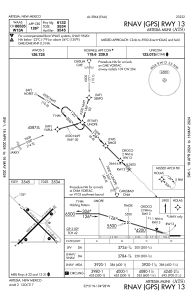
Runways:
| RWY identifier | QFU | Length (ft) | Width (ft) | Surface | LDA (ft) |
| 13 | 135° | 6132 | 100 | ASPH | |
| 31 | 315° | 6132 | 100 | ASPH | |
| 04 | 45° | 6800 | 150 | ASPH | |
| 22 | 225° | 6800 | 150 | ASPH |
Airport contact information
Address: Artesia United States