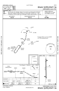


I34 - Greensburg Muni
Located in Greensburg, United States
ICAO - I34, IATA -
Data provided by AirmateGeneral information
Coordinates: N39°19'37" W85°31'21"
Elevation is 912 feet MSL.
Magnetic variation is -04° East View others Airports in Indiana
Operational data
Special qualification required
Current time UTC:
Current local time:
Weather at : KHLB - Batesville ( 23 km )
METAR: KHLB 252335Z AUTO 06006KT 10SM CLR 14/00 A3020 RMK A01
Communications frequencies: [VIEW]
Runways:
| RWY identifier | QFU | Length (ft) | Width (ft) | Surface | LDA (ft) |
| 18 | 180° | 3433 | 40 | ASPH | |
| 36 | 360° | 3433 | 40 | ASPH |
Airport contact information
Address: Greensburg United States