


HKUK - Diani
Located in Diani/Ukunda, Kenya
ICAO - HKUK, IATA - UKA
Data provided by AirmateGeneral information
Coordinates: S4°17'37" E39°34'16"
Elevation is 98 feet MSL.
Magnetic variation is -1° East View others Airports in Coast Province
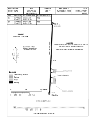
Operational data
Special qualification required
Current time UTC:
Current local time:
Weather at : HKMO - Mombasa Moi Intl ( 30 km )
METAR: HKMO 250600Z 20007KT 9999 FEW020CB BKN080 26/24 Q1011 NOSIG
TAF: TAF HKMO 250500Z 2506/2612 21005KT 9999 FEW020 BKN080 TEMPO 2509/2512 -RA SCT018 BKN080 BECMG 2518/2621 18010KT NSW SCT021 BKN080 TEMPO 2600/2603 24005KT -SHRA SCT018 BKN080
Communications frequencies: [VIEW]
Runways:
| RWY identifier | QFU | Length (ft) | Width (ft) | Surface | LDA (ft) |
| 01 | 2° | 3836 | 59 | PAVE | |
| 19 | 182° | 3836 | 59 | PAVE |
Airport contact information
Address: Diani/Ukunda Kenya