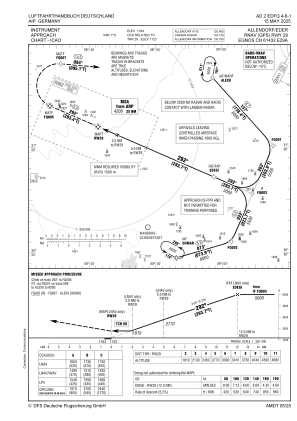
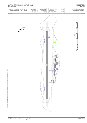
EDFQ - Allendorf/Eder
Located in Allendorf, Germany
ICAO - EDFQ, IATA -
Data provided by AirmateGeneral information
Coordinates: N51°2'7" E8°40'51"
Elevation is 1164 feet MSL.
Magnetic variation is 2.5000° East View others Airports in Hesse
Operational data
Special qualification required
Current time UTC:
Current local time:
Weather at : ETHF - Fritzlar ( 43 km )
METAR: ETHF 200320Z 31011KT 9999 SCT026 SCT051 05/01 Q1012 BLU+
Communications frequencies: [VIEW]
Runways:
| RWY identifier | QFU | Length (ft) | Width (ft) | Surface | LDA (ft) |
| 11 | 113° | 4068 | 98 | ASPH | 4068 |
| 29 | 293° | 4068 | 98 | ASPH | 4068 |
Airport contact information
Address: Allendorf Germany
Other aviation service providers
Aviation club (not for profit)
Luftsportverein Ederbergland E.V.
Luftsportverein Ederbergland E.V.
info@lsv-ederbergland.de+4964526877
+491622393665
+491622393665


