


CYAG - Fort Frances Municipality
Located in , Canada
ICAO - CYAG, IATA - YAG
Data provided by AirmateGeneral information
Coordinates: N48°39'16" W93°26'26"
Elevation is 1123 feet MSL.
Magnetic variation is 1° East View others Airports in Ontario
Operational data
Special qualification required
Current time UTC:
Current local time:
Weather at : KINL - Falls Intl/Einarson Fld ( 10 km )
METAR: KINL 190454Z AUTO 26006KT 4SM -SN BR FEW008 BKN012 OVC036 00/M02 A2986 RMK AO2 SLP125 P0000 T00001017 $
TAF: KINL 190529Z 1906/2006 26010G18KT P6SM OVC018 TEMPO 1906/1909 3SM -SHSN BKN008 FM191300 27013G21KT P6SM VCSH OVC020 PROB30 1918/1924 -SHSN FM200200 30011G18KT P6SM OVC028
Communications frequencies: [VIEW]
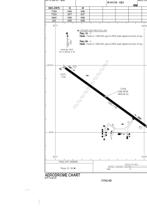
Runways:
| RWY identifier | QFU | Length (ft) | Width (ft) | Surface | LDA (ft) |
| 12 | 126° | 4493 | 100 | ASPH | 4493 |
| 30 | 306° | 4493 | 100 | ASPH | 4493 |
Airport contact information
Address: Canada